Carbon capture and storage (CCS) is often hailed as a critical tool in the fight against climate change. But not all carbon capture technologies are created equal. Two of the most prominent contenders are:
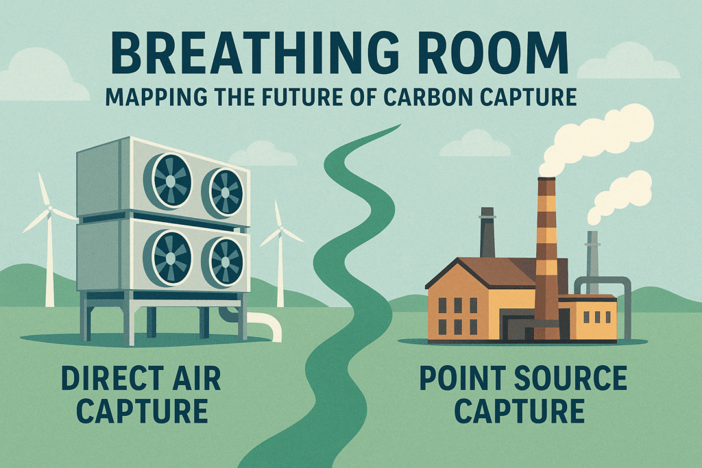
- Direct Air Capture (DAC) – systems that remove CO₂ directly from ambient air.
- Point Source Capture (PSC) – technologies that capture CO₂ at the source of emission, like power plants and industrial facilities.
As part of my Terra Curiosity series, I want to explore how geography influences the effectiveness and feasibility of each method. Where should we prioritize DAC vs. PSC? Can spatial modeling offer a clearer path to sustainable deployment?
This series will be split into four parts, culminating in a suitability model for each technology and a map-based comparison. I’ll be using a combination of Python, GIS tools, and public datasets to guide this analysis.
My Hypothesis
My working hypothesis is this: Point Source Capture will be most viable near existing industrial corridors with high emissions and infrastructure, whereas Direct Air Capture will favor regions with low land-use conflict, high renewable energy potential, and access to geological CO₂ storage.
In other words, I suspect that each technology has a geographic personality — DAC as the remote, sun-and-wind-powered loner, and PSC as the factory-floor workhorse.
Data I’ll Be Using
To evaluate this, I’ll be gathering and processing a number of open datasets:
- EPA FLIGHT: U.S. facility-level greenhouse gas emissions data
- NREL Renewable Resource Maps: Solar and wind potential
- USGS Carbon Storage Atlas: CO₂ storage basins and saline formations
- NLCD Land Cover: To avoid forests, farmland, and urbanized zones for DAC
- PRISM or WorldClim: Climate data, possibly affecting DAC efficiency
- Census/Population Density: To minimize impacts on populated areas
I’ll be combining these datasets using Python libraries like rasterio, geopandas, scipy, and matplotlib to build suitability models.
Why Location Matters
Too often, CCS is discussed purely in terms of cost or technical readiness. But where we deploy these technologies could determine their actual success. Land use, infrastructure, climate, and even political boundaries all influence feasibility.
Spatial analysis lets us ask questions like:
- Where are the largest stationary emitters relative to storage sites?
- Which regions offer the best combination of renewable energy and low land conflict?
- How does population density or environmental justice factor into deployment?
What Comes Next
In the next post, I’ll begin by modeling ideal areas for Direct Air Capture deployment. This will involve:
- Reclassifying and weighting environmental layers
- Identifying “sweet spots” based on multiple factors
- Mapping the results and interpreting what they reveal
The goal isn’t to declare a winner between DAC and PSC, but to let the landscape speak for itself. Stay tuned!