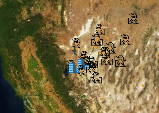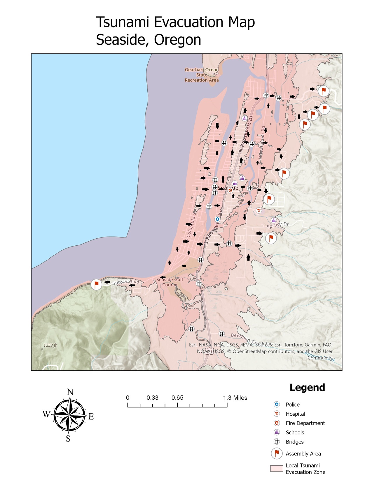
When I first explored the Cascadia Subduction Zone and its tsunami risk for coastal towns like Seaside, Oregon, my goal […]
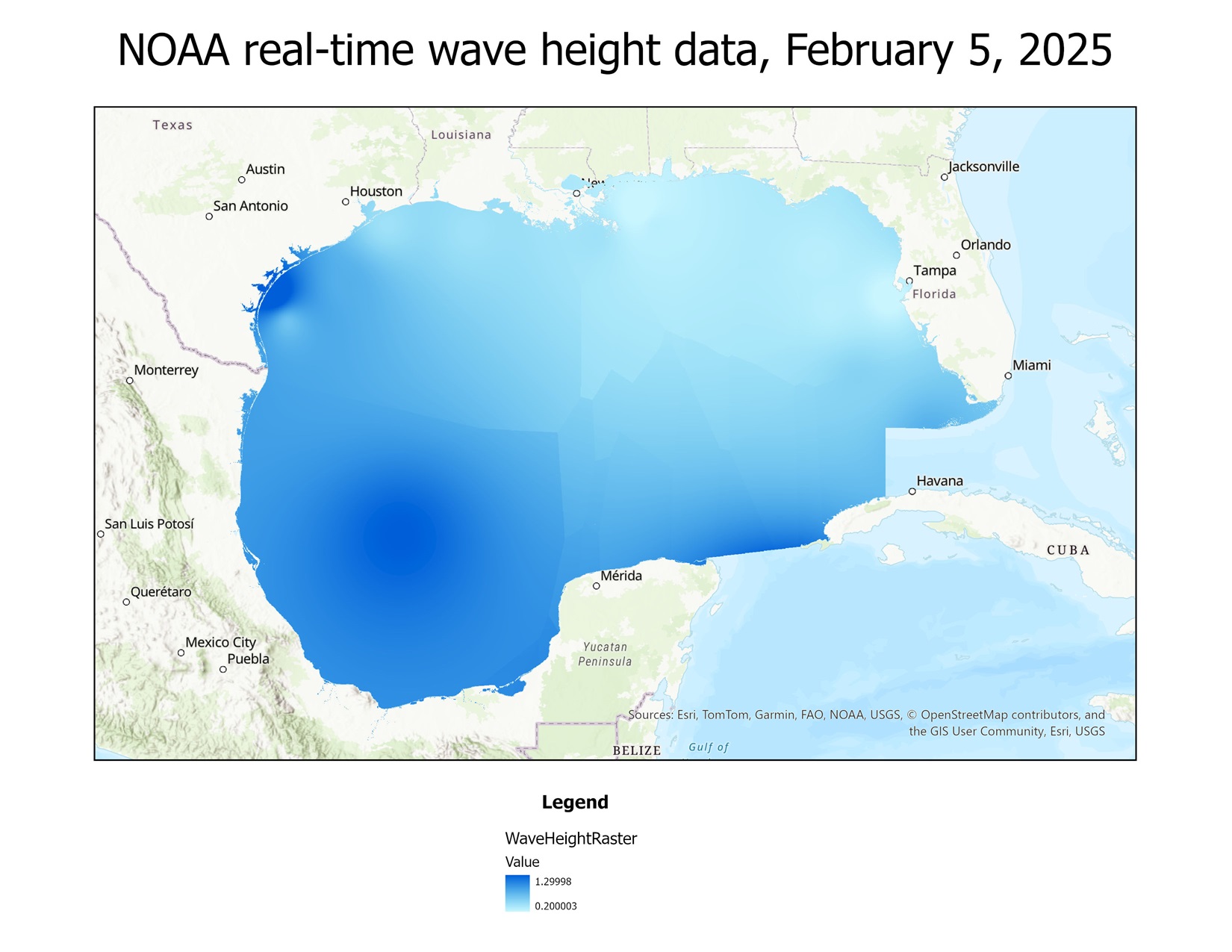
Using Python to create a map from real-time buoy data from NOAA
I have recently begun learning how to use Python with ArcGIS, as that is a valuable skill for a GIS […]