Introduction Forests are a cornerstone of our planet’s health, playing a critical role in biodiversity, carbon sequestration, and water cycle […]
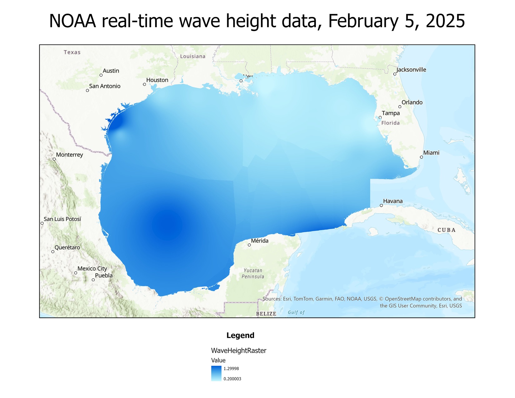
Using Python to create a map from real-time buoy data from NOAA
I have recently begun learning how to use Python with ArcGIS, as that is a valuable skill for a GIS […]
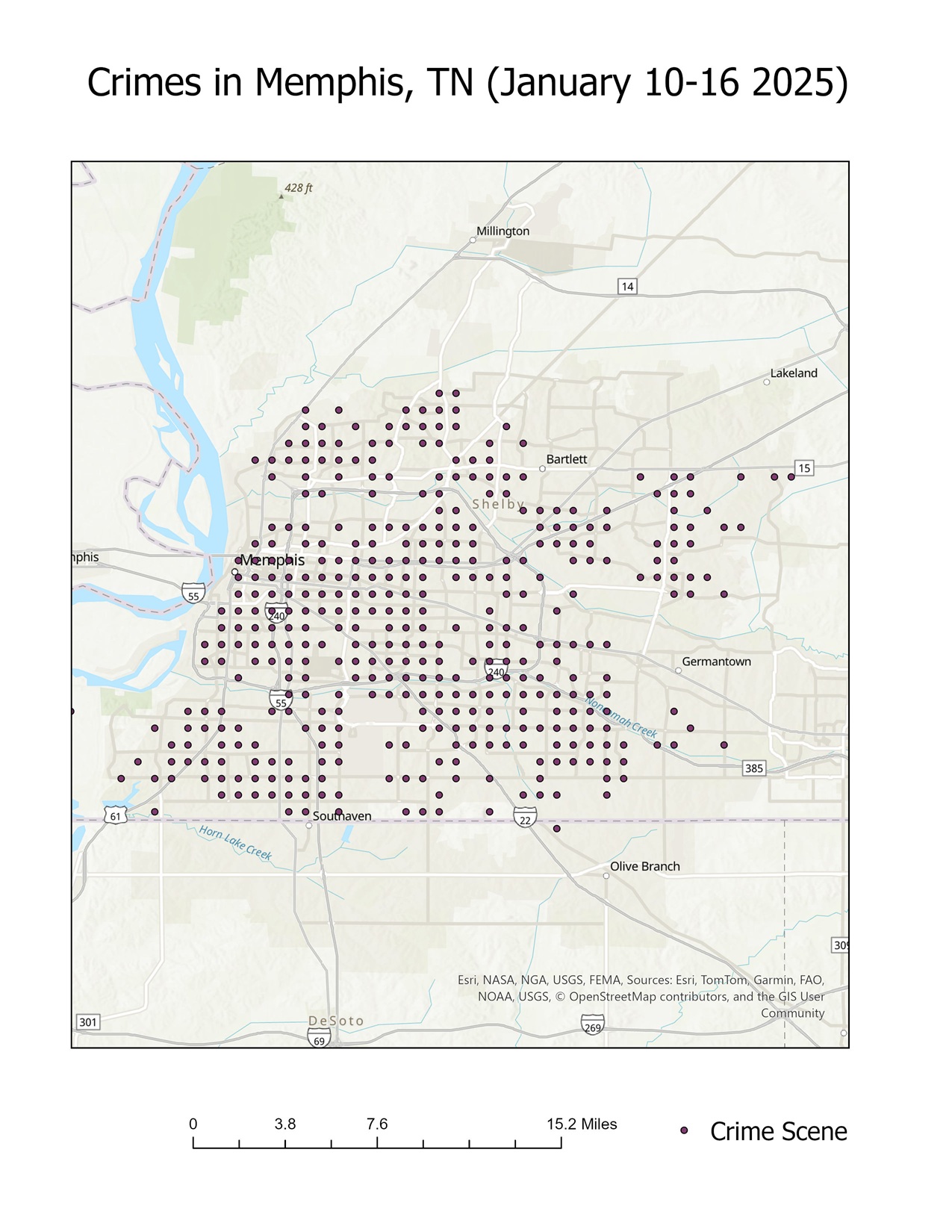
The best city in the US for a Jedi Temple: Oakland or Memphis?
In my previous post, I explored five potential cities for the location of a Jedi Temple: St. Louis, Missouri; Oakland, […]
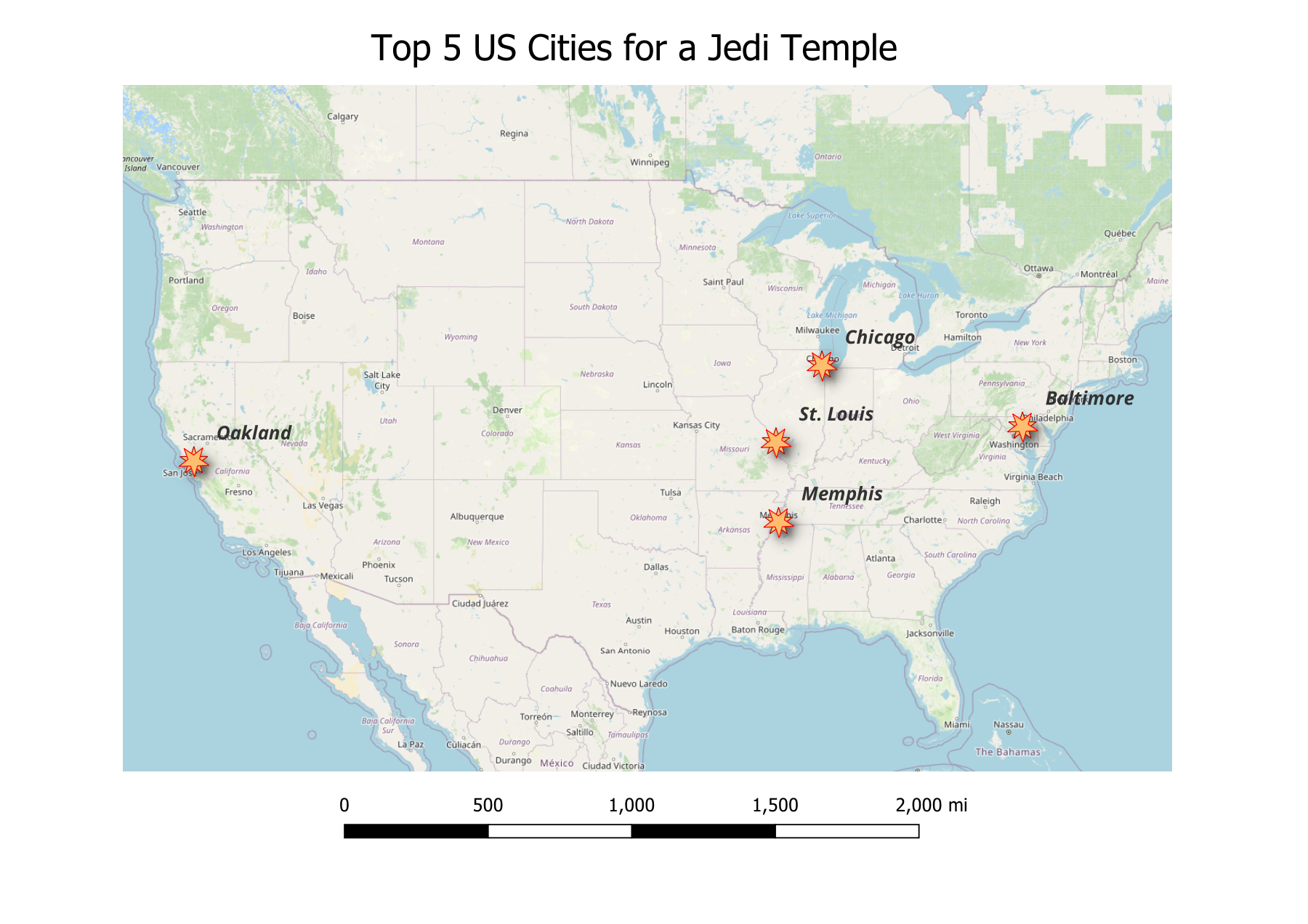
Exploring the Top Five Cities for a Jedi Temple: A GIS Analysis
In my quest to identify the ideal location for a Jedi Temple in the United States, I’ve narrowed my focus […]
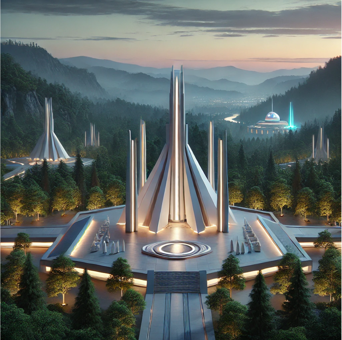
Where would a Jedi Temple be built in the United States?
In my college years, my final project for Advanced GIS class was well received by my peers and instructors alike: […]
Mapping for Resilience: Final Report – Understanding the Cascadia Megaquake and Tsunami
Original Hypothesis The Pacific Northwest is at significant risk from the future Cascadia Megaquake and Tsunami, and effective mapping using […]

Mapping For Resilience: Comparing Tsunami Preparedness in Seaside, Oregon & Westport, Washington
When it comes to tsunami preparedness, coastal communities must adapt to their unique geographies and resources to protect residents and […]
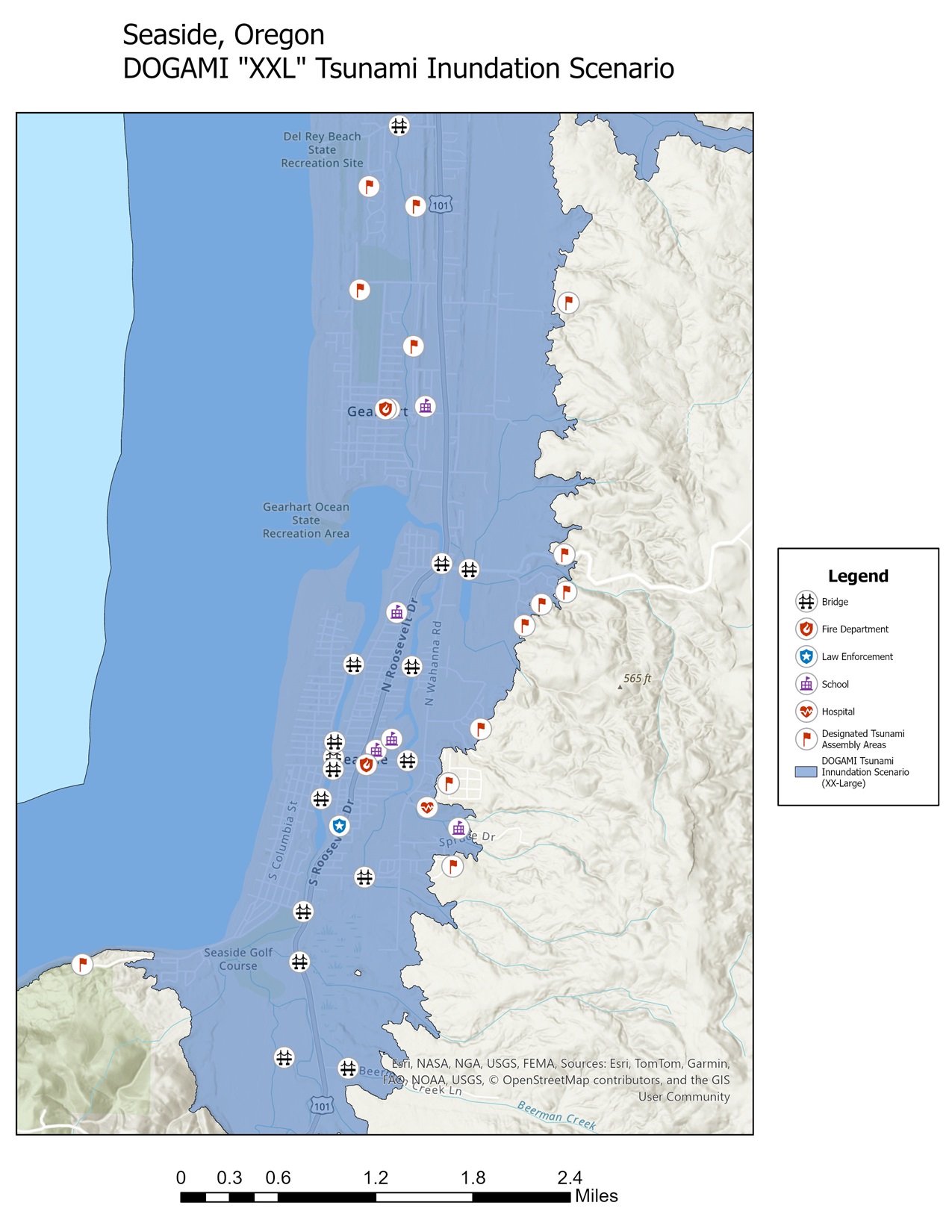
Mapping for Resilience: DOGAMI’s “XXL” tsunami inundation zone
Examining the Risks: A tsunami in Seaside, Oregon Seaside, a popular Oregon town for beachgoers, sits on the frontlines of […]
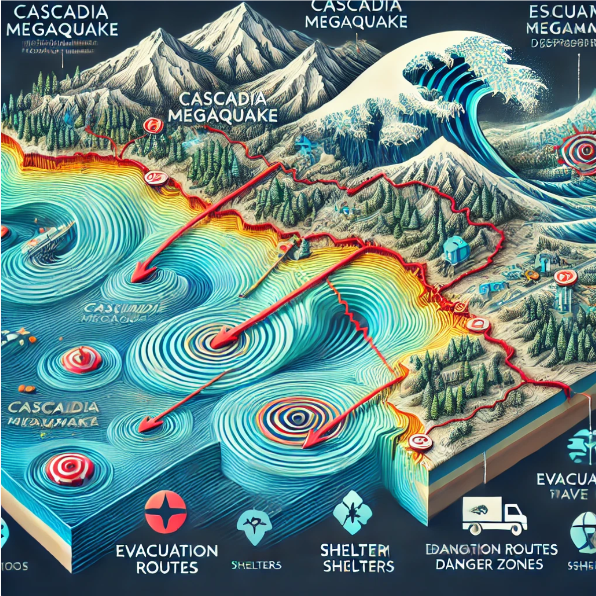
Mapping for Resilience: Understanding the Cascadia Megaquake & Tsunami
The Pacific Northwest sits atop a ticking geological time bomb: the Cascadia Subduction Zone. This massive fault line, stretching over […]
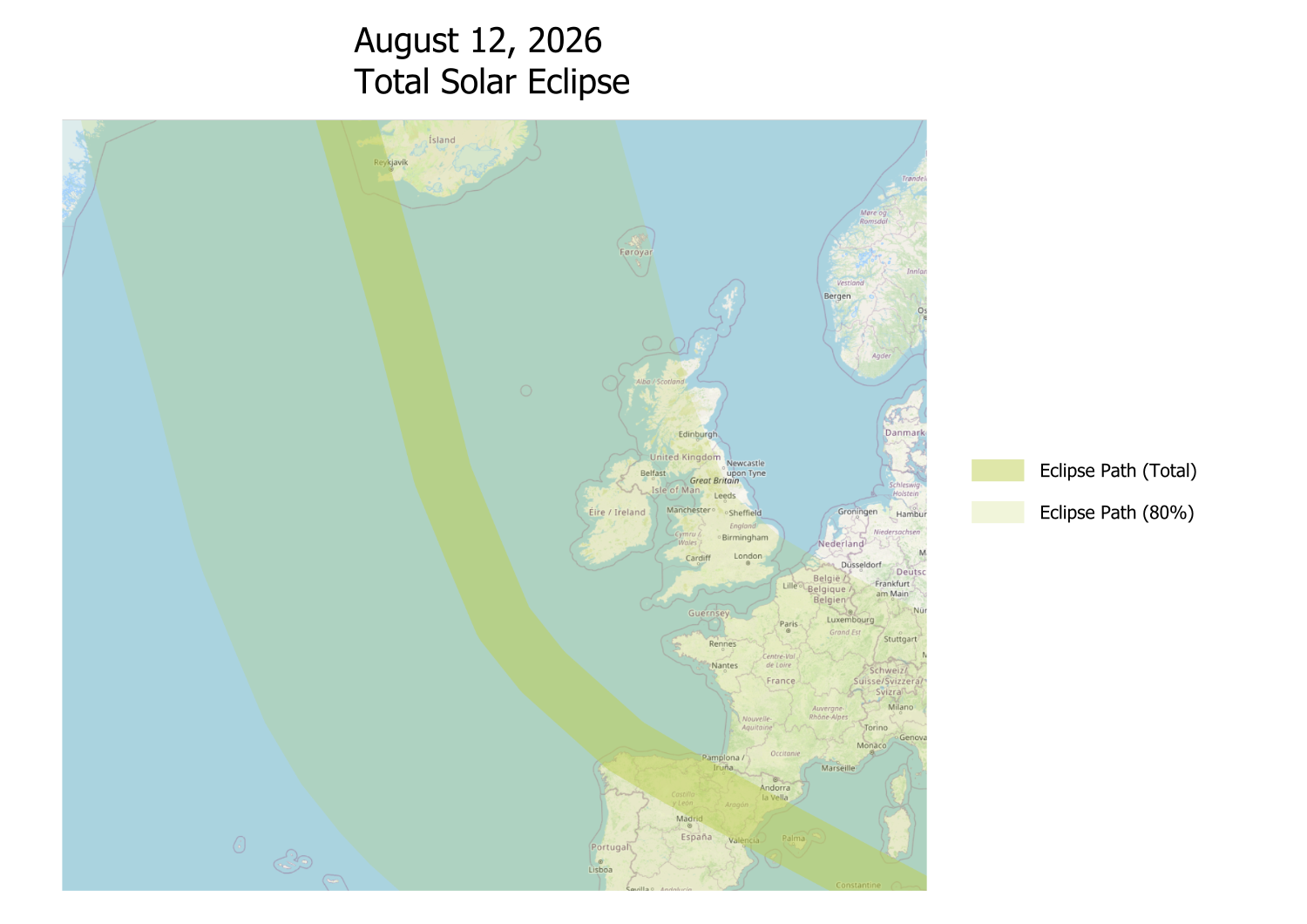
Chasing Shadows: A Solar Eclipse Journey and the Power of GIS Mapping
Premise On April 8, 2024, I had the privilege of witnessing the awe-inspiring total solar eclipse from Syracuse, NY. Although […]