Original Hypothesis The Pacific Northwest is at significant risk from the future Cascadia Megaquake and Tsunami, and effective mapping using […]

Mapping For Resilience: Comparing Tsunami Preparedness in Seaside, Oregon & Westport, Washington
When it comes to tsunami preparedness, coastal communities must adapt to their unique geographies and resources to protect residents and […]
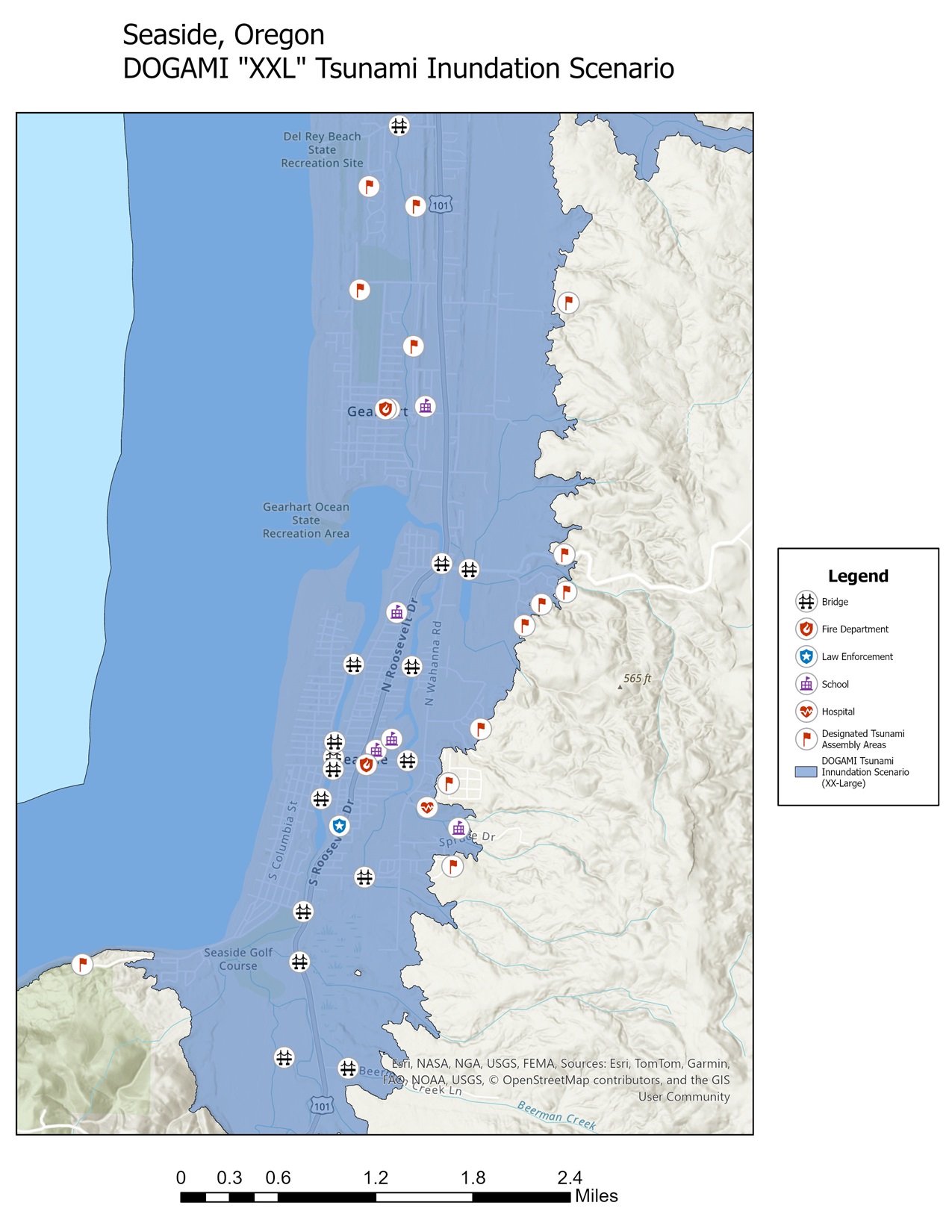
Mapping for Resilience: DOGAMI’s “XXL” tsunami inundation zone
Examining the Risks: A tsunami in Seaside, Oregon Seaside, a popular Oregon town for beachgoers, sits on the frontlines of […]
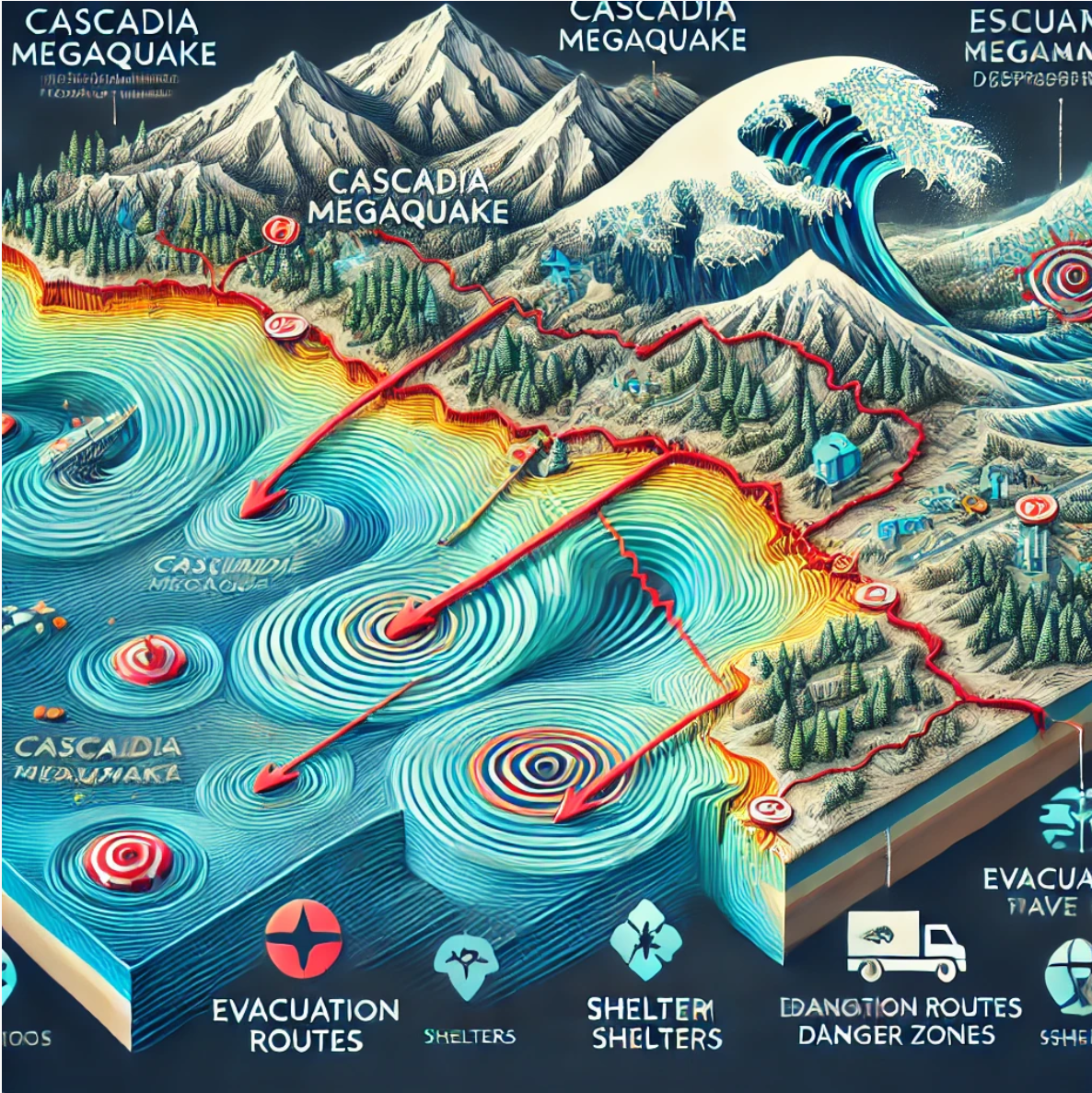
Mapping for Resilience: Understanding the Cascadia Megaquake & Tsunami
The Pacific Northwest sits atop a ticking geological time bomb: the Cascadia Subduction Zone. This massive fault line, stretching over […]