As climate change and urban development continue to reshape the American landscape, one form of environmental repair is gaining traction: the rewilding of transportation corridors. For this Terra Curiosity research project, I’ll be mapping potential wildlife corridors across Washington’s I-90 highway, focusing on a stretch that cuts through the Cascade Mountains near Snoqualmie Pass.
This isn’t just a GIS exercise—it’s a personal exploration of how we might restore broken connections between habitats, and between ourselves and the natural world.
Hypothesis
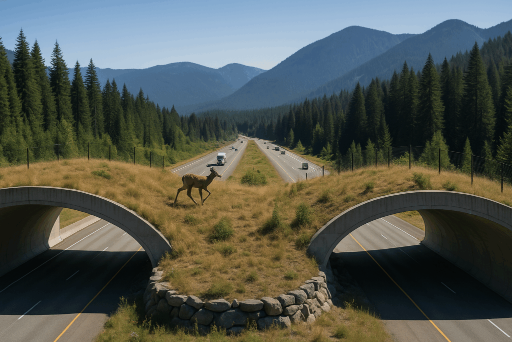
The I-90 corridor is both a vital transportation link and a major barrier to animal movement. Wildlife like elk, black bears, and cougars depend on forested terrain and safe passage between habitat zones—but highways often sever these lifelines. Efforts like the Snoqualmie Pass Wildlife Overcrossing show that reconnection is possible. This project aims to map where these reconnections are most viable from an ecological standpoint.
I expect the most promising zones to appear where:
- Steep terrain is minimal (gentle slopes)
- Land cover is predominantly forest or natural vegetation
- Nearby protected areas provide anchor points
- Species richness is high
- Road density is low or already includes mitigation structures
What the Project Will Involve
1. Study Area Definition
- Focused on a segment of I-90 near Snoqualmie Pass
- Bounded by King and Kittitas counties
2. Data Collection
- Land Cover: NLCD 2019 from USGS MRLC
- Elevation / Slope: 1/3 arc-second DEM tiles
- Road Network: TIGER/Line roads (US Census)
- Protected Areas: Interpreted from state maps and PDFs
- Species Biodiversity: Shapefiles reflecting range/hotspots (thanks to Stephen!)
3. Suitability Modeling
- Each layer will be reclassified and weighted
- High-suitability areas will favor gentle slopes, forest cover, low road impact, and biodiversity hotspots
- Output: A suitability map highlighting ideal zones for corridor restoration or enhancement
4. Interpretation
- Comparison to existing crossings (e.g., Snoqualmie Pass)
- Reflections on symbolic vs. physical fragmentation
- Consideration of next steps or policy implications
What’s Next
In the next post, I’ll dive into the suitability model design, starting with land cover classification and slope reclassification. From there, I’ll integrate the remaining layers and produce the first draft of the corridor suitability map.
Stay curious!