Lessons from Esri UC 2025 In one of the more insightful sessions from this year’s Esri User Conference, presenter Flora […]
Revisiting my Quebec Wildfires project with Python: The Numbers Surprised Me
As I continue learning how to use Python with ArcGIS, I decided to revisit my previous Wildfires Project, with one […]

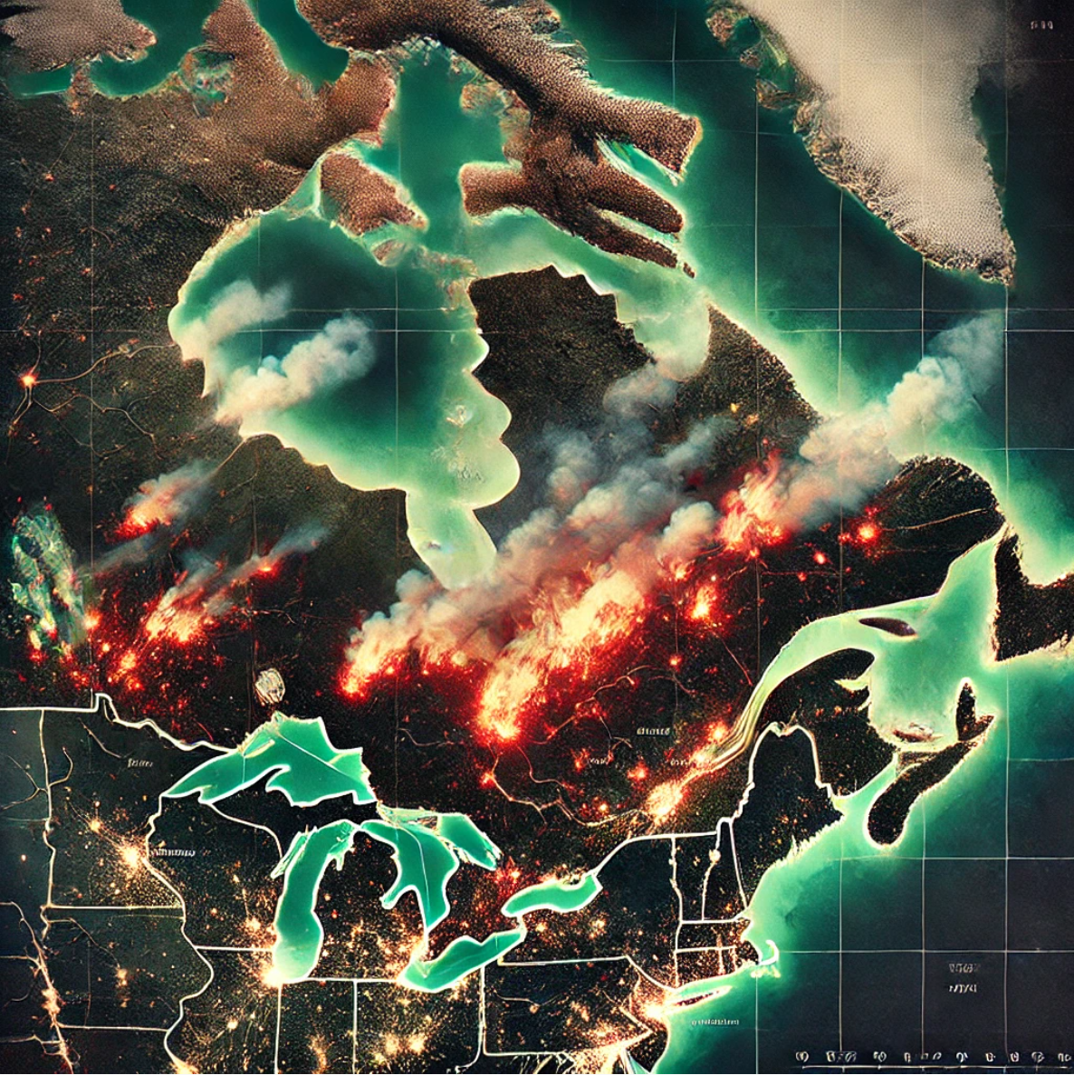
Mapping the Flames: Working with satellite data
The Premise In my GIS project on wildfires in Ontario and Quebec, one of the most valuable tools I have […]
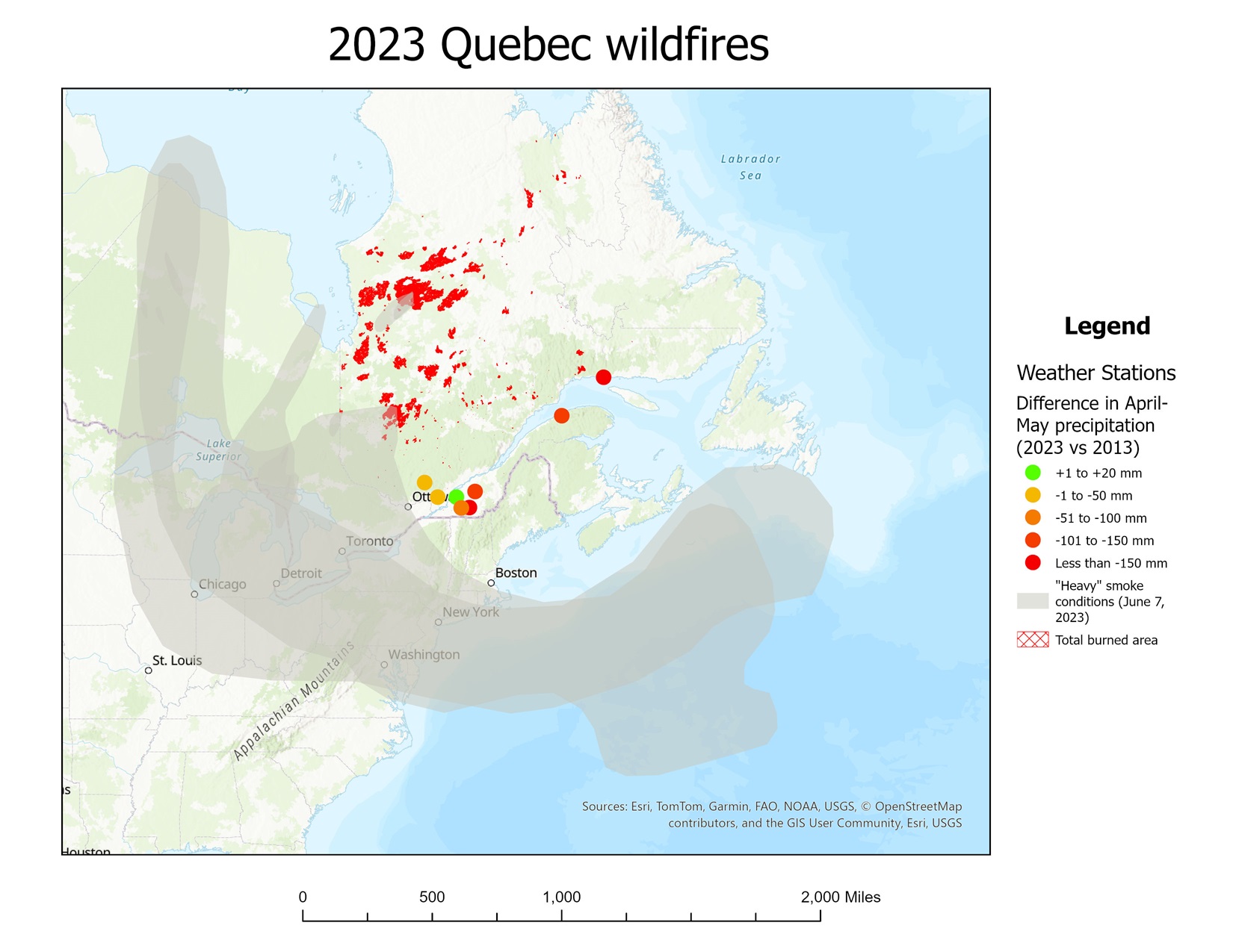
Mapping The Flames: Understanding Wildfires in Ontario and Quebec
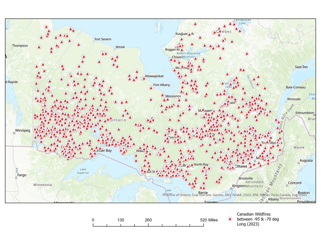
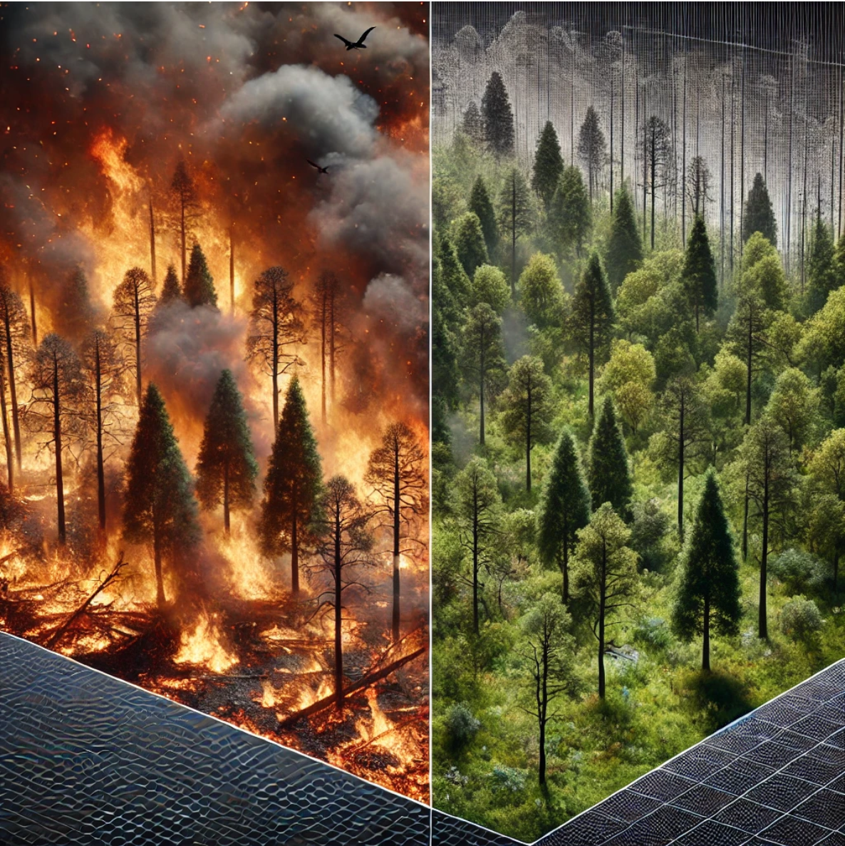
In 2023, Canada witnessed one of its most devastating wildfire seasons to date, with Ontario and Quebec being hit particularly […]
Mapping the Flames: A GIS approach to understanding wildfires in Canada
Hypothesis As wildfires become an increasing concern across the globe due to climate change, Canada stands out as one of […]
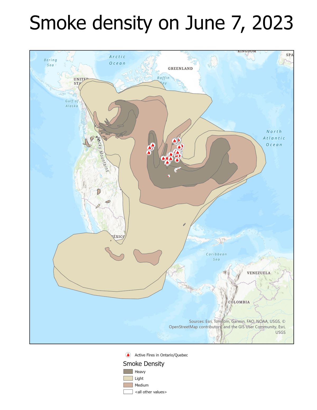
Mapping the impacts of wildfires
The Premise As a child in the 1990s, I still remember those old TV commercials with Smokey the Bear telling […]